|
GLImER
Global Lithospheric Imaging using Earthquake Recordings [HOME] |
PROJECT DESCRIPTION
The objective of the project GLImER is to conduct a global survey of lithospheric interfaces using converted teleseismic body waves. Data from permanent and temporary seismic networks worldwide are processed automatically to produce global maps of key interfaces (Moho, intra-lithospheric interfaces, lithosphere-asthenosphere boundary). The seismic results are interpreted in conjunction with constraints from complementary fields of the earth sciences such as tectonics, geodynamics, petrology, and geochemistry. This provides a unique view of how the properties of these interfaces vary between different tectonic environments and thus how the interfaces relate to geological processes at work in these various environments. The results will be distributed to the scientific community in the form of data products through a web-based application.
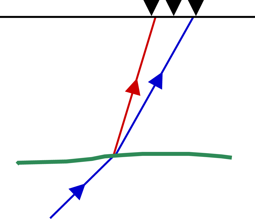
INTERACTIVE MAP OF RECEIVER FUNCTIONS
click here
CROSS-SECTIONS THROUGH 3-D VOLUMES OF RECEIVER FUNCTIONS
Coming soon - click here for a preview
PEOPLE
Stéphane Rondenay (PI, UiB)
Wesley Cassidy (Intern, UBC)
Anne Drottning (Master’s, UiB)
Mari Farestveit (Intern, Master’s student, UiB)
Felix Halpaap (Intern, PhD student, UiB))
Peter Makus (Intern, Master’s, UiB)
Lucas Sawade (Intern, Master’s, UiB)
Kathrin Spieker (PhD student, UiB)
FUNDING
European Commission - Marie Curie Career Integration Grant (CIG)
University of Bergen - Department of Earth Science
SCIENTIFIC CONTRIBUTIONS
- Spieker, K., S. Rondenay, F. Halpaap, A survey of deconvolution approaches in teleseismic receiver function analysis, manuscript in preparation.
- Schiffer, C., T. Eken, S. Rondenay and T. Taymaz, Localised crustal deformation along the central North Anatolian Fault Zone revealed by joint inversion of P-receiver functions and P-wave polarisations, in revision.
- Spieker, K., S. Rondenay, R. Ramalho, C. Thomas and G. Helffrich,
Constraints on the structure of the crust and lithosphere beneath the Azores Islands from teleseismic receiver functions, Geophys. J. Int., 212,824-835, 2018. [link].
- Boyce A., I.D. Bastow, S. Rondenay and R. van der Hilst, From relative to
absolute arrival-times, Bull. Seismol. Soc. Am., 107(5), 2511-2520, 2017. [link]
- Rondenay, S., K. Spieker, L. Sawade, F. Halpaap and M. Farestveit, GLImER
- A new global database of teleseismic receiver functions for imaging Earth
structure, Seismol. Res. Lett., 88, 39-48, 2017. [link]
- Hopper, E., K.M. Fischer, S. Rondenay, R.B. Hawman and L.S. Wagner,
Imaging crustal structure beneath the southern Appalachians with wavefield
migration, Geophys. Res. Lett., 43, 12054-12062, 2016. [link]
- Spieker, K., S. Rondenay, R. Ramalho, C. Thomas, and G. Helffrich, Evidence for magmatic underplating under the Azores Islands from P-wave receiver functions, Geophysical Research Abstracts, Vol. 18, EGU2016-6828, 2016.
- Spieker, K., S. Rondenay, L. Sawade, Long-range Receiver Function Profile of Crustal and Mantle Discontinuities From the Aleutian Arc to Tierra del Fuego, Geophysical Research Abstracts, Vol. 18, EGU2016-9120, 2016.
- Spieker, K., S. Rondenay, R. Ramalho, C. Thomas, and G. Helffrich, Underplating of the Azores Islands made visible by P-wave Receiver Functions, Deutsche Geophysikalische Gesellschaft yearly meeting, 2016.
- Rondenay, S, Receiver function imaging of crustal and upper mantle structure (solicited), Geophysical Research Abstracts, Vol. 17, EGU2015-5954, EGU General Assembly, 2015.
- Rondenay, S., K. Spieker, F. Halpaap, M. Farestveit, L. Sawade, L. Zijerveld, Global lithospheric imaging using teleseismic receiver functions (Invited), S42B-06, AGU Fall Meeting, 2015.
- Spieker, K., S. Rondenay, F. Halpaap, - Is there an optimal deconvolution method for receiver function imaging? Vol. 17, EGU2015-10682, EGU General Assembly, 2015.
- Hopper, E., K.M. Fischer, L.S. Wagner, R.B. Hawman, and S. Rondenay, New insights on the final stages of the Appalachian orogeny in the southeast U.S.A., T11D-2929, AGU Fall Meeting, 2015.
- Spieker, K., S. Rondenay, F. Halpaap, A survey of deconvolution approaches in teleseismic receiver function analysis, Geophysical Research Abstracts, Vol. 16, EGU2014-6280, EGU General Assembly, 2014.
- Halpaap, F., K. Spieker, S. Rondenay, Objective determination of the water level in frequency-domain deconvolution for receiver function analysis, Geophysical Research Abstracts, Vol. 16, EGU2014-6078, EGU General Assembly, 2014.